
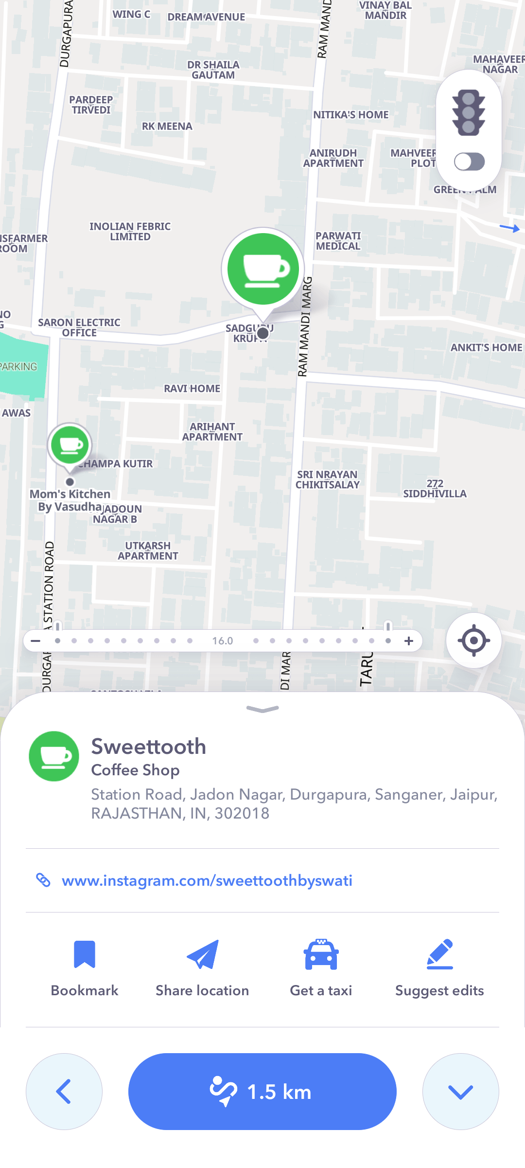

Add your business
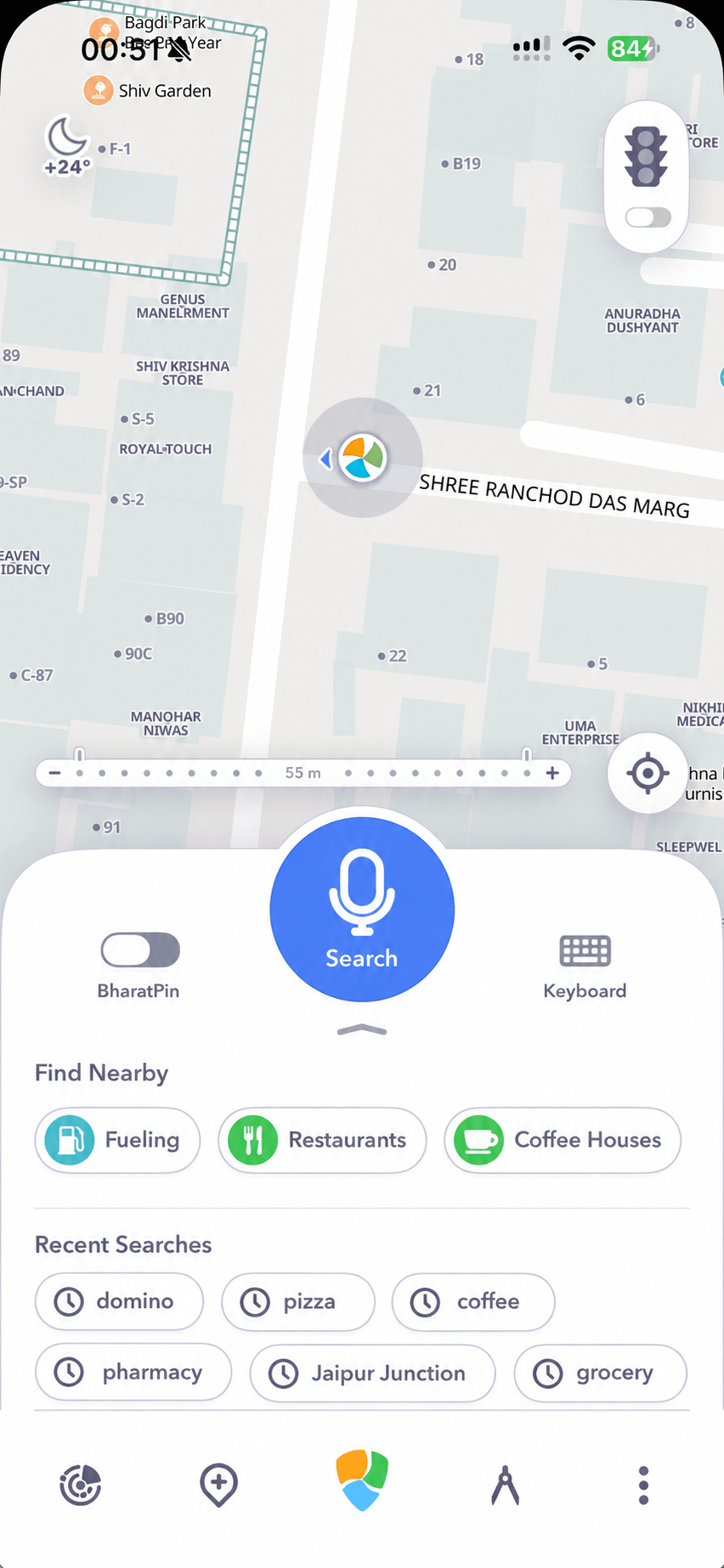
Help customers find your shop, office or service. Put its location on the map through the Bharat Maps app.
Get the app
House numbers, buildings and streets, mapped in detail across India. For the products you build and the places you need to reach.
Based in Jaipur, we combine field mapping, local knowledge, imagery and public datasets. Contributions and map corrections help us reflect the places people use every day.
Discuss data accessFind an address. Explore the streets around it. Plan the journey there. Try the maps and location services you can build into your product.
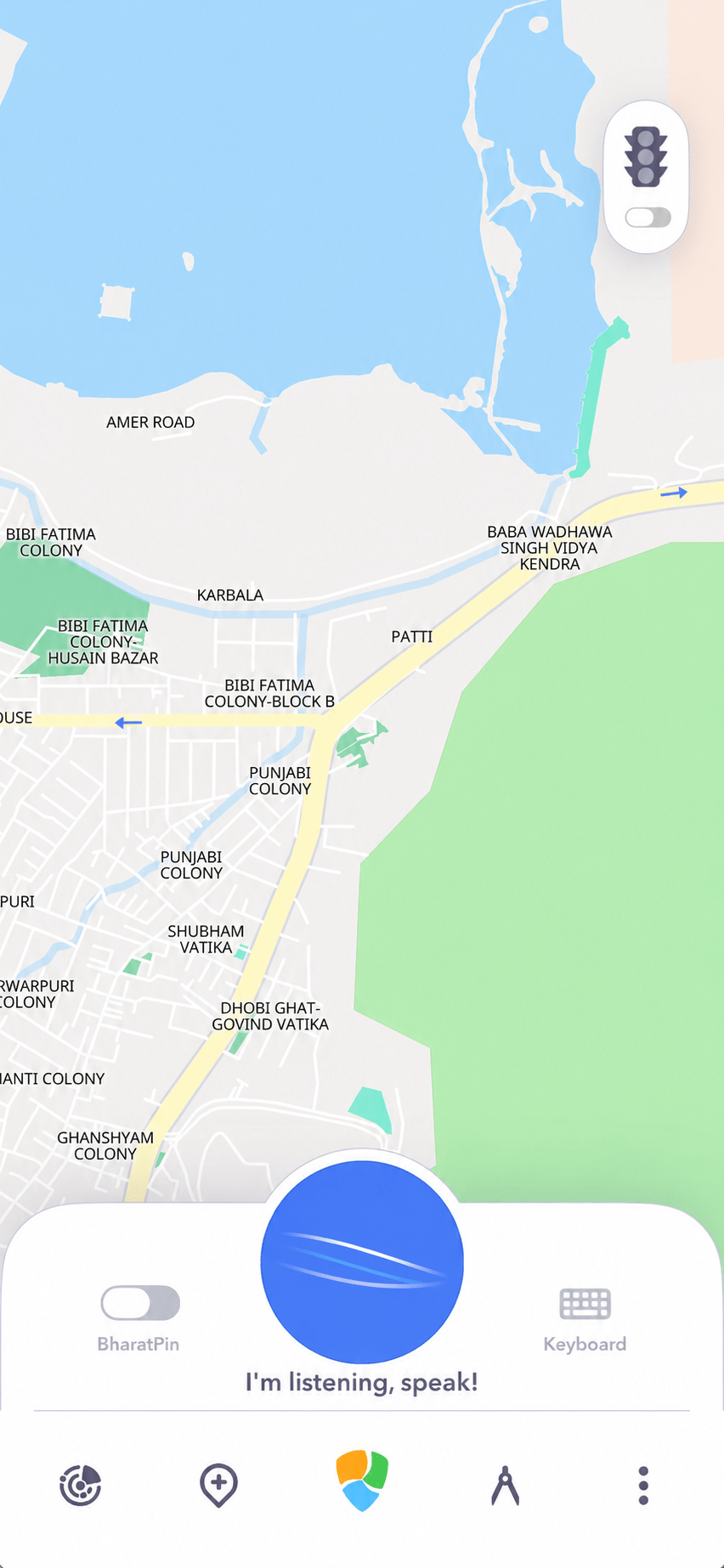
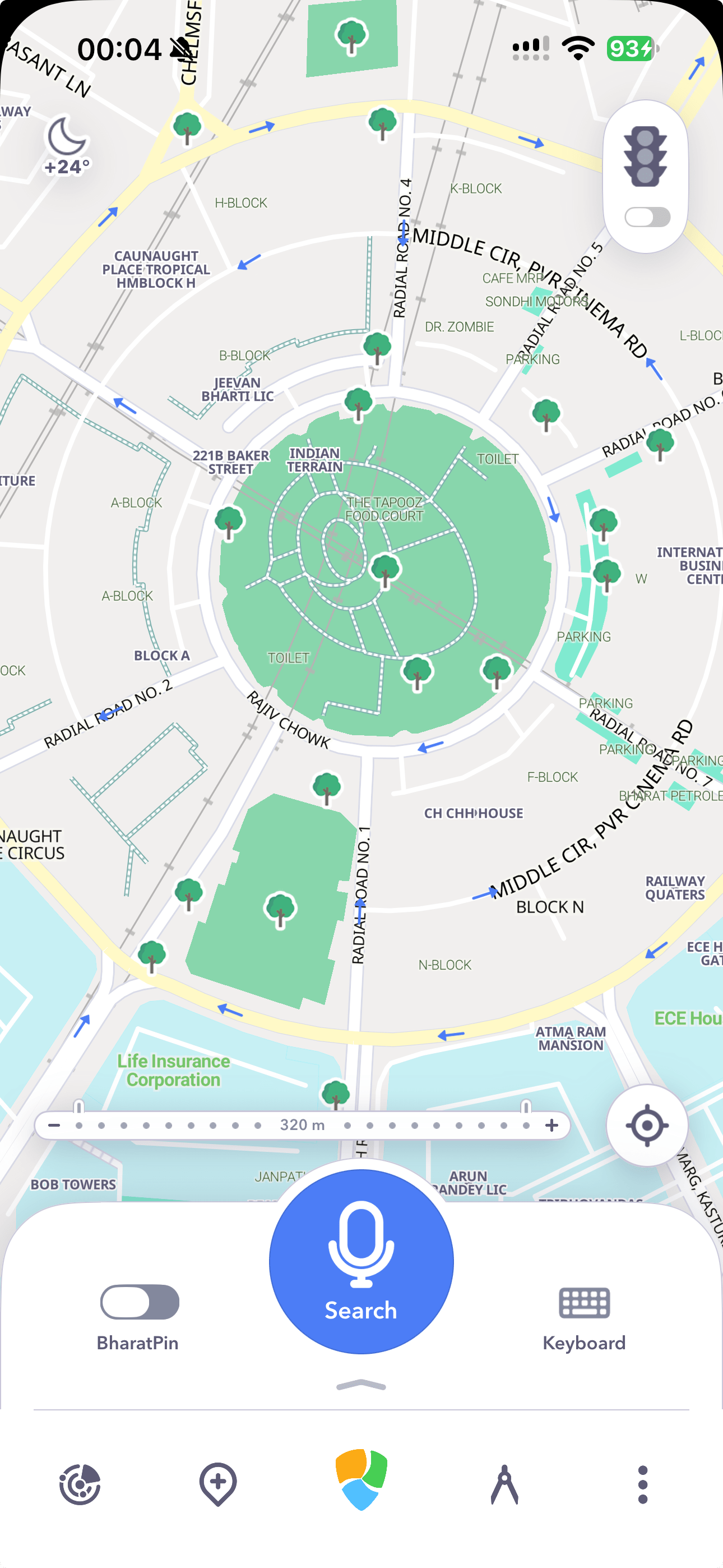
Explore places nearby, find your way through the city and keep your people close with Bharat Live. One app for your everyday journeys, on iOS and Android.



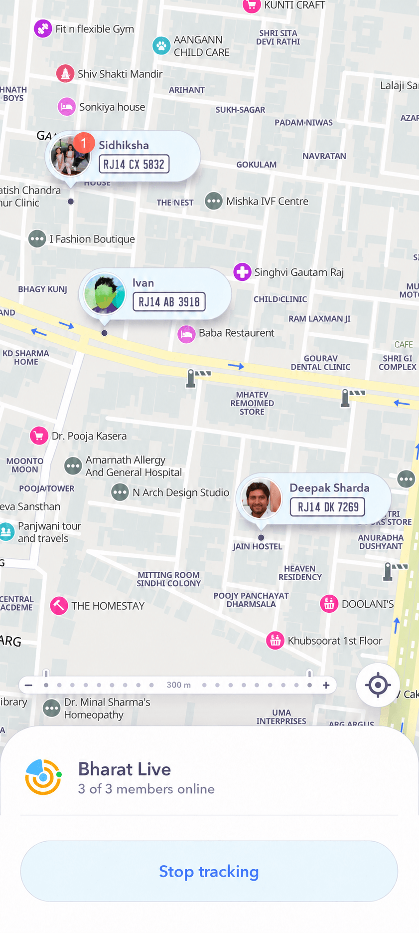
A shared map for family, friends or your team. Create a group, invite your people and see each other’s live locations.
Send messages in the same place. You choose when your location is visible.
Discover it in the appBharat Maps provides nationwide mapping, with detailed house-number address data across India. Our work includes cities, smaller towns and rural areas.
Coverage is a foundation we continue to enrich with building details, entrances and local updates. For a business integration, discuss the locations and data layers you need with our team.
We combine field mapping and local knowledge with satellite imagery, government and public datasets, and community contributions. These sources help us identify streets, buildings, places and administrative boundaries, including in rural and hard-to-reach areas.
Mapping tools and automated checks support the work of our team. Bharat Maps Studio and business submissions provide additional ways to report details that need to be added or corrected.
Maps change as neighbourhoods grow, businesses move and roads are altered. We bring together updates from field mapping, imagery, public datasets and local contributions to keep improving the data.
People can suggest corrections through Bharat Maps Studio and add their businesses through the app. These contributions help connect our map to what is happening on the ground.
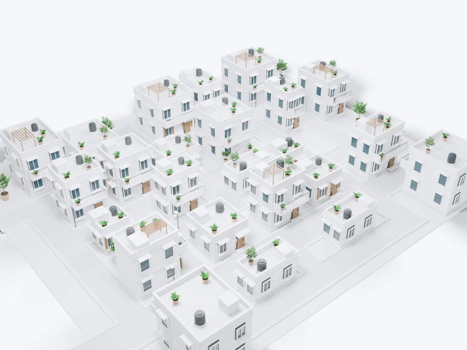
It means focusing on the final approach to a destination: the entrance you need, rather than a point somewhere near the building. House numbers, building shapes and entrance details work together to make that approach clearer.
This is the level of detail we aim to provide for navigation to the door. A device’s live GPS position still depends on its signal and surroundings.
A house number is only useful when you can connect it to the right building and reach its entrance. Bharat Maps brings these details together with the surrounding road network, helping people find their way through dense neighbourhoods and unfamiliar streets.
That detail supports deliveries, field visits and other services where arriving near an address is not enough.
Our focus is the detail that matters in India: house-number addresses, building footprints, entrances and the streets that connect them. We bring these layers together for both everyday navigation and products built by businesses.
The mobile interface is designed for one-hand use, with a map zoom slider and multiple tabs that keep tools within reach. Local contributions through Bharat Maps Studio help people improve the places they know.
Bharat Maps is a mapping platform built in India, for the way people find addresses and move around India. Our focus goes beyond major roads to house numbers, building footprints, entrances, local streets and places.
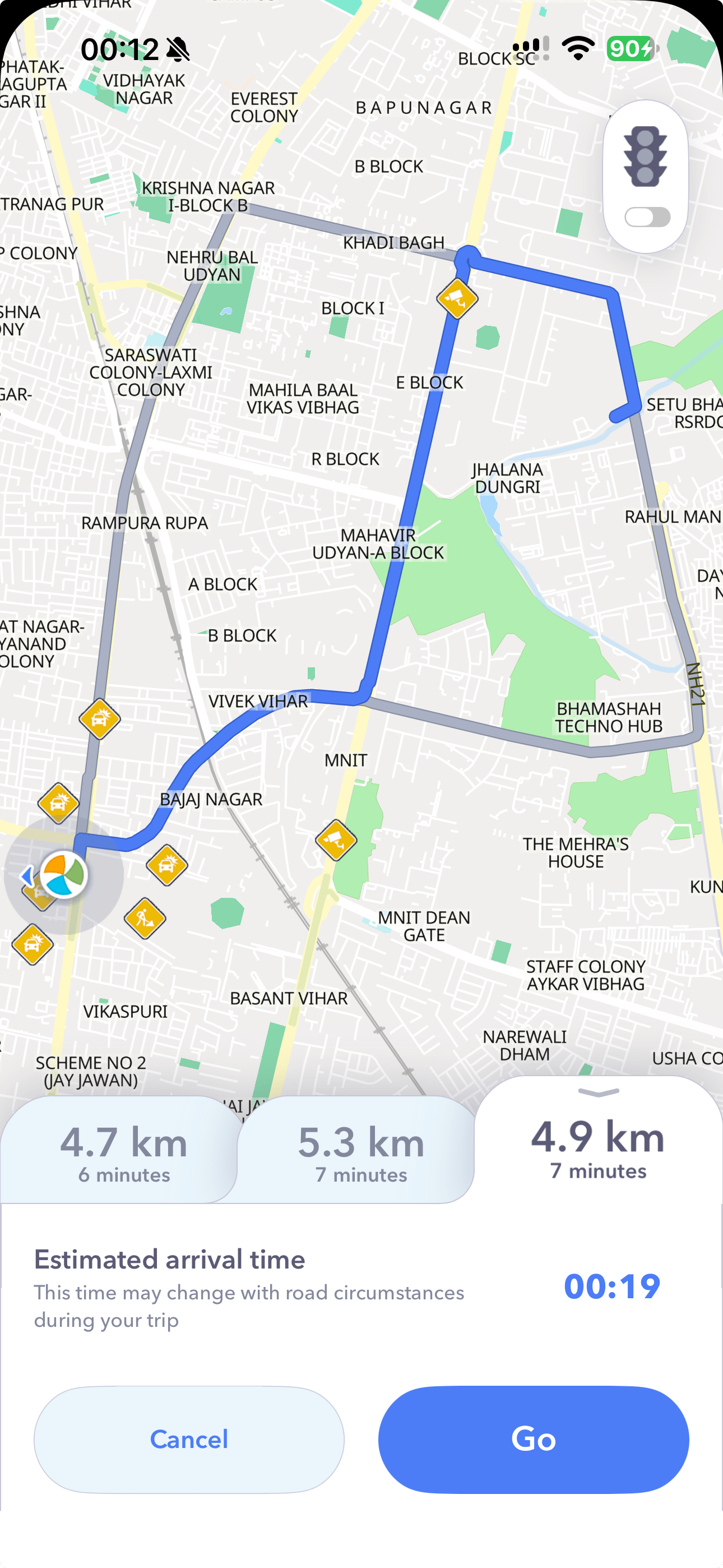
For businesses, we provide map data, APIs and SDKs. For everyday journeys, our iOS and Android apps bring that data into search, navigation and local discovery.
Our SDKs bring Bharat Maps into iOS, Android and web products. APIs support place and address search, reverse geocoding and routing, so you can connect a location on the map to an address or plan a journey between places.
Register in the Developer Portal to obtain API keys and SDK licences and access integration documentation. Businesses can also discuss access to our detailed map and address data.
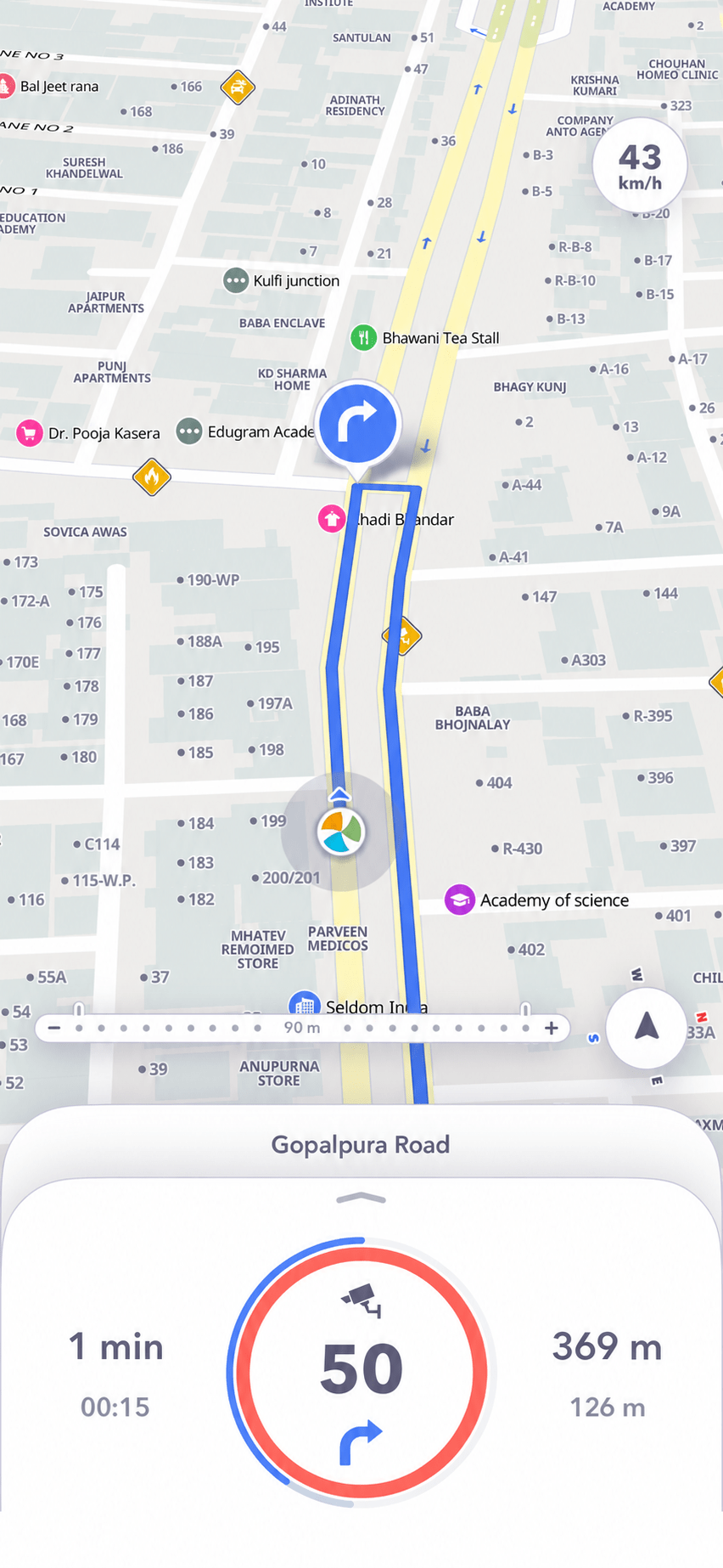
The app displays traffic and road events such as accidents, speed cameras and road hazards, including steep slopes and flooding. These details help you understand what is ahead alongside turn-by-turn guidance.
Toll information is available on the map and in route descriptions. An automatic “avoid toll roads” option is not currently part of route selection.
We are based in Jaipur. Our work combines software development, field mapping and local knowledge, supported by imagery, public datasets and contributions from people who know their neighbourhoods.
We use mapping tools and semi-automated workflows to help the team collect, check and refine location data.
Our priority is to keep improving the depth and usefulness of our map of India: more address detail, better local information and tools that help people and businesses use it.
We are also developing the platform through practical integrations and partnerships. The focus remains on the map, the mobile experience and the APIs and SDKs that bring them into other products.
Tell us about your application and the data you need. Let’s find the right combination of map data, SDKs and APIs.
Discuss your requirements